
GIS Mapping for smart cities
Site intelligence in a single interactive map.
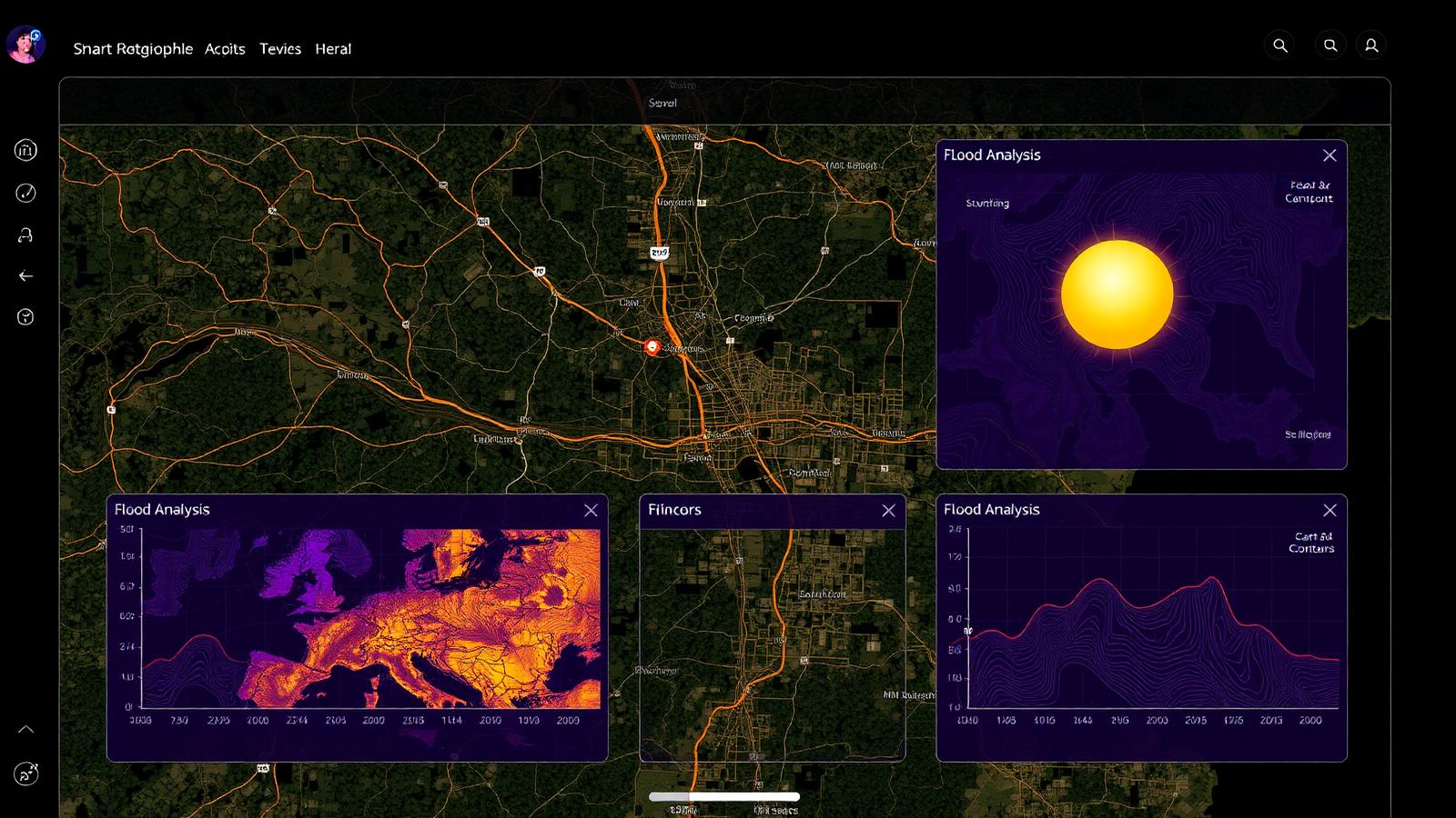
Layer satellite imagery, roads, utilities, flood risk and zoning on any site. Instantly see distances to schools, hospitals and transit — with risk and compliance tiles for planners and developers.
- Map layers
- 5+
- POI categories
- Schools · Hospitals
- Risk tiles
- Flood · Zoning
- Response
- Real-time
What you get
Satellite & roads
Toggle imagery and road networks over your project footprint.
Utilities & zoning
See water, power, sewer runs and municipal zoning classes.
Flood zones
Overlay 100-year flood zones to surface site risk early.
Distance analytics
Bar charts for distances to nearest amenities and services.
Schools index
Auto-detects nearest schools within a configurable radius.
Healthcare index
Nearest hospitals and clinics with distance rings.
Why teams choose Planora AI
Every capability below is live in the platform today — try it in the linked workspace.
- Toggle satellite, roads, utilities, flood and zoning layers on demand.
- POI markers with distance rings for schools and hospitals.
- Recharts-powered distance-to-amenity analytics.
- Quick-stat tiles for flood risk and zoning compliance.
Ready to build with AI?
Launch the workspace and generate a complete design, cost model and BIM package in minutes.